
File:Tanzania UngujaCentralSouth location map.svg

Size of this PNG preview of this SVG file: 630 × 600 pixels. Other resolutions: 252 × 240 pixels | 504 × 480 pixels | 807 × 768 pixels | 1,076 × 1,024 pixels | 2,152 × 2,048 pixels | 3,302 × 3,143 pixels.
kuleha na ku anama hixitalo (Fayili ya SVG, vukulu lebyi ringaneke 3,302 × 3,143 hi ti phikisele, vukulu bya fayili: 1.04 MB)
Nkomiso
| Description | |
| Date | |
| Source | File:Tanzania location map.svg by Sémhur under licence FreeArt or CC-BY-SA |
| Author | Sémhur |
| Other versions | |
| Attribution (required by the license) | © Sémhur / Wikimedia Commons / |
| SVG | W3C-validity not checked. |
| Graphic Lab |
| Object location | | View this and other nearby images on: OpenStreetMap |
|---|
Nawu wo pfumelela
I, the copyright holder of this work, hereby publish it under the following licenses:
| Copyleft: This work of art is free; you can redistribute it and/or modify it according to terms of the Free Art License. You will find a specimen of this license on the Copyleft Attitude site as well as on other sites. |
This file is licensed under the Creative Commons Attribution-Share Alike 4.0 International, 3.0 Unported, 2.5 Generic, 2.0 Generic and 1.0 Generic license.
- You are free:
- to share – to copy, distribute and transmit the work
- to remix – to adapt the work
- Under the following conditions:
- attribution – You must give appropriate credit, provide a link to the license, and indicate if changes were made. You may do so in any reasonable manner, but not in any way that suggests the licensor endorses you or your use.
- share alike – If you remix, transform, or build upon the material, you must distribute your contributions under the same or compatible license as the original.
You may select the license of your choice.
Matimu ya fayili
thlava eka siku/nkarhi leswaku u vona leswi fayili ayirixiswona hi knarhi walowo
| Siku/Nkarhi | Xifanisonyana | Mpimo | Mutirhisi | Nhlamulo | |
|---|---|---|---|---|---|
| Sweswinyana | 19:44, 28 Khotavuxika 2017 | | 3,302 × 3,143 (1.04 MB) | Sémhur | Update with Songwe region |
| 15:44, 14 N'wendzamhala 2013 |  | 3,096 × 2,947 (1.38 MB) | Sémhur | Updated with 2012 new region boundaries | |
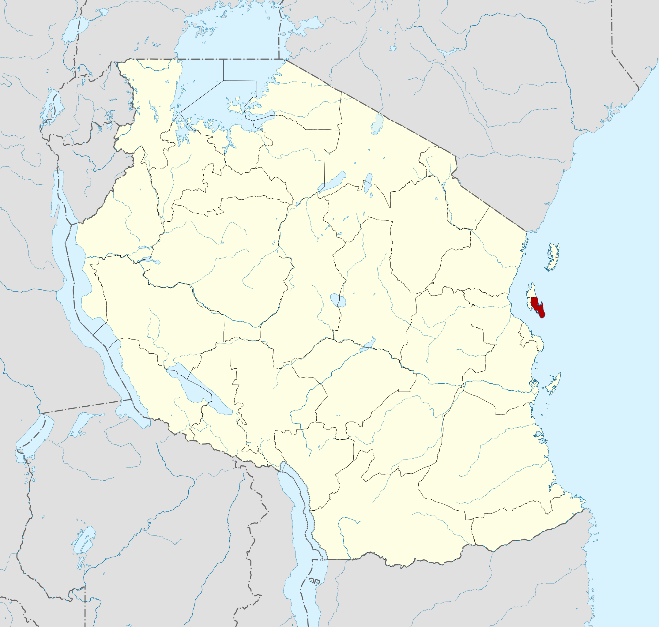
| 10:42, 3 Mudyaxihi 2009 |  | 3,096 × 2,947 (829 KB) | Sémhur | =={{int:summary}}== {{Information |Description= {{en|1=Locator map of Unguja Central/South region, Tanzania.}} {{es|1=Mapa de localización de la provincia de Unguja Central y Sul, Tanzania.}} {{fr|1=Carte de localisation |
Ntsengo wakutirhisiwa ka fiyili leyi
tluka leri rikhekela eka fayili leyi:
Global file usage
The following other wikis use this file:
- Usage on an.wikipedia.org
- Usage on ar.wikipedia.org
- Usage on avk.wikipedia.org
- Usage on bn.wikipedia.org
- Usage on ca.wikipedia.org
- Usage on cs.wikipedia.org
- Usage on da.wikipedia.org
- Usage on de.wikipedia.org
- Usage on el.wikipedia.org
- Usage on en.wikipedia.org
- Usage on eo.wikipedia.org
- Usage on es.wikipedia.org
- Usage on eu.wikipedia.org
- Usage on fr.wikipedia.org
- Usage on gl.wikipedia.org
- Usage on ha.wikipedia.org
- Usage on he.wikipedia.org
- Usage on id.wikipedia.org
- Usage on ig.wikipedia.org
- Usage on it.wikipedia.org
- Usage on ja.wikipedia.org
- Usage on ka.wikipedia.org
- Usage on lv.wikipedia.org
- Usage on nn.wikipedia.org
- Usage on no.wikipedia.org
- Usage on ru.wikipedia.org
- Usage on sr.wikipedia.org
- Usage on sw.wikipedia.org
- Usage on tr.wikipedia.org
- Usage on uk.wikipedia.org
- Usage on ur.wikipedia.org
- Usage on www.wikidata.org
- Usage on yo.wikipedia.org
- Usage on zh.wikipedia.org
- Usage on zu.wikipedia.org