
File:Europe-UK.svg

Size of this PNG preview of this SVG file: 713 × 600 pixels. Other resolutions: 285 × 240 pixels | 571 × 480 pixels | 913 × 768 pixels | 1,218 × 1,024 pixels | 2,435 × 2,048 pixels | 2,045 × 1,720 pixels.
kuleha na ku anama hixitalo (Fayili ya SVG, vukulu lebyi ringaneke 2,045 × 1,720 hi ti phikisele, vukulu bya fayili: 4.6 MB)
Iphone pro max
Nkomiso
| Description | |
| Date | |
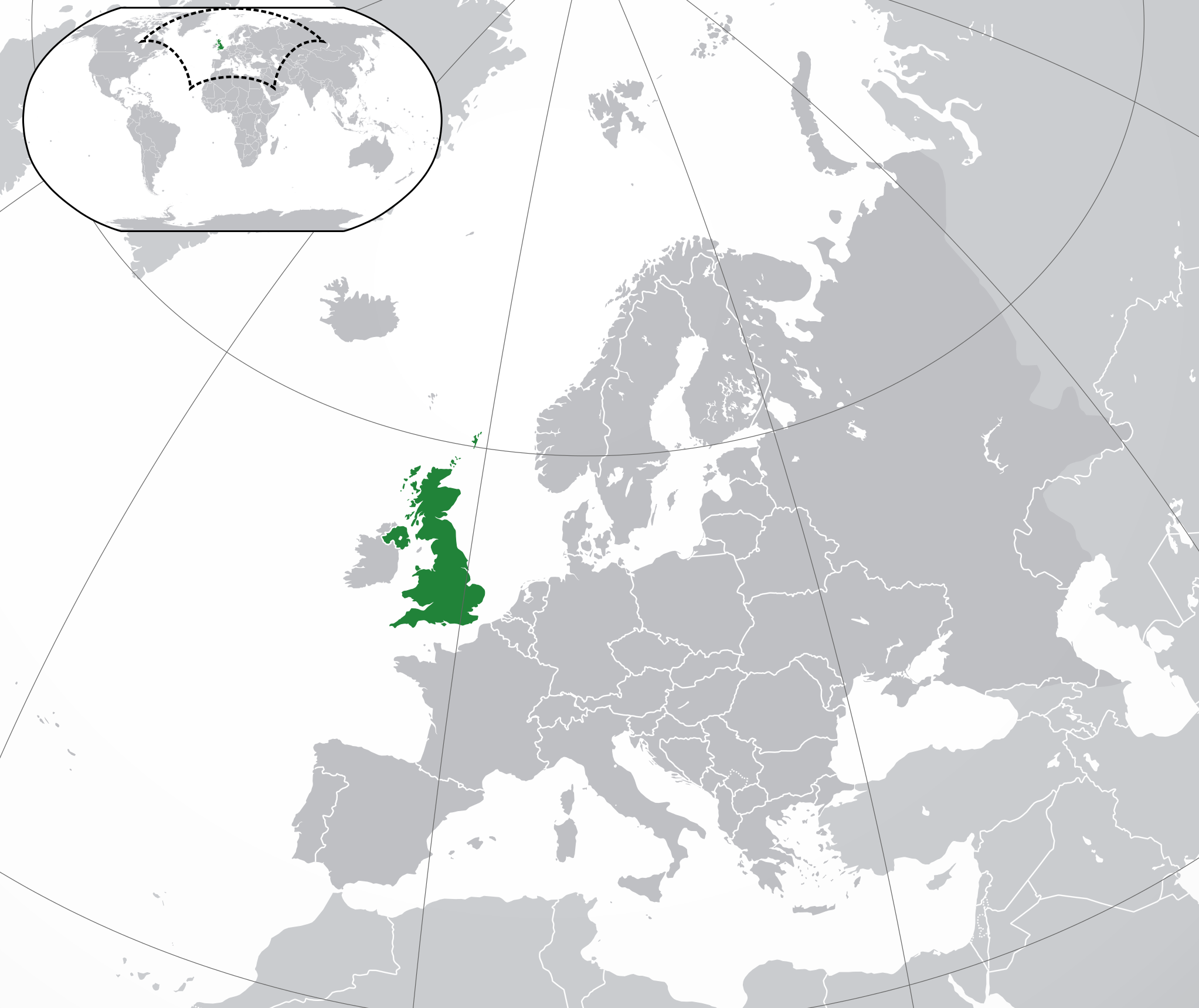
| Source | Own work based on: Location European nation states.svg |
| Author | Rob984 |
| Other versions |
|
| SVG genesis |

.svg)

.svg)
Nawu wo pfumelela
I, the copyright holder of this work, hereby publish it under the following license:
This file is licensed under the Creative Commons Attribution-Share Alike 4.0 International license.
- You are free:
- to share – to copy, distribute and transmit the work
- to remix – to adapt the work
- Under the following conditions:
- attribution – You must give appropriate credit, provide a link to the license, and indicate if changes were made. You may do so in any reasonable manner, but not in any way that suggests the licensor endorses you or your use.
- share alike – If you remix, transform, or build upon the material, you must distribute your contributions under the same or compatible license as the original.
Matimu ya fayili
thlava eka siku/nkarhi leswaku u vona leswi fayili ayirixiswona hi knarhi walowo
| Siku/Nkarhi | Xifanisonyana | Mpimo | Mutirhisi | Nhlamulo | |
|---|---|---|---|---|---|
| Sweswinyana | 23:05, 19 Nhlangula 2021 | | 2,045 × 1,720 (4.6 MB) | Rob984 | Cleanup |
| 13:26, 14 Mhawuri 2018 |  | 2,045 × 1,720 (7.33 MB) | Rob984 | Dotted disputed areas and changed Cyprus to the lighter shade of grey. | |
| 01:40, 2 Mhawuri 2018 |  | 2,045 × 1,720 (7.35 MB) | Rob984 | Reverted to version as of 17:10, 19 July 2016 (UTC) Gibraltar isn't UK proper | |
| 10:13, 24 Dzivamusoko 2018 |  | 2,045 × 1,720 (7.37 MB) | RaviC | + deps | |
| 17:10, 19 Mawuwani 2016 |  | 2,045 × 1,720 (7.35 MB) | Rob984 | User created page with UploadWizard |
Ntsengo wakutirhisiwa ka fiyili leyi
tluka leri rikhekela eka fayili leyi:
Global file usage
The following other wikis use this file:
- Usage on ace.wikipedia.org
- Usage on ady.wikipedia.org
- Usage on af.wikipedia.org
- Usage on af.wiktionary.org
- Usage on als.wikipedia.org
- Usage on ami.wikipedia.org
- Usage on am.wikipedia.org
- Usage on an.wikipedia.org
- Usage on ar.wikipedia.org
- مستخدم:ElWaliElAlaoui/ملعب 8
- معاملة المثليين في المملكة المتحدة
- مستخدم:جار الله/قائمة صور مقالات العلاقات الثنائية
- العلاقات الأنغولية البريطانية
- العلاقات البريطانية الكورية الجنوبية
- العلاقات البريطانية السويسرية
- العلاقات الألمانية البريطانية
- العلاقات البريطانية الإريترية
- العلاقات البريطانية الليختنشتانية
- العلاقات البريطانية البوليفية
- العلاقات البريطانية الموزمبيقية
- العلاقات الألبانية البريطانية
- العلاقات البريطانية البلجيكية
- العلاقات البريطانية الإثيوبية
- العلاقات البريطانية البيلاروسية
- العلاقات البريطانية الطاجيكستانية
- العلاقات البريطانية الرومانية
- العلاقات البريطانية الغامبية
- العلاقات البريطانية القبرصية
- العلاقات البريطانية السيراليونية
- العلاقات البريطانية النيبالية
- العلاقات البريطانية الليبيرية
- العلاقات التشيكية البريطانية
- العلاقات البريطانية الميانمارية
- العلاقات البريطانية المالية
- العلاقات البريطانية النيجيرية
- العلاقات البريطانية الكوبية
- العلاقات البريطانية الكورية الشمالية
- العلاقات البريطانية الناوروية
- العلاقات البريطانية الكوستاريكية
- العلاقات البريطانية اللاتفية
- العلاقات البريطانية اللوكسمبورغية
- العلاقات البريطانية الهندوراسية
- العلاقات البريطانية الليسوتوية
- العلاقات البريطانية المولدوفية
- العلاقات البريطانية المالاوية
- العلاقات البريطانية الكينية
- العلاقات البريطانية الماليزية
- العلاقات البريطانية الناميبية
- العلاقات البريطانية الليتوانية
- العلاقات البريطانية المنغولية
View more global usage of this file.