
File:Location Hungary EU Europe.png
Size of this preview: 721 × 600 pixels. Other resolutions: 289 × 240 pixels | 577 × 480 pixels | 923 × 768 pixels | 1,231 × 1,024 pixels | 2,056 × 1,710 pixels.
kuleha na ku anama hixitalo (2,056 × 1,710 ku anama na leha hi ti phikisele, Vukulu bya fayili: 166 KB, muxaka waMIME: image/png)
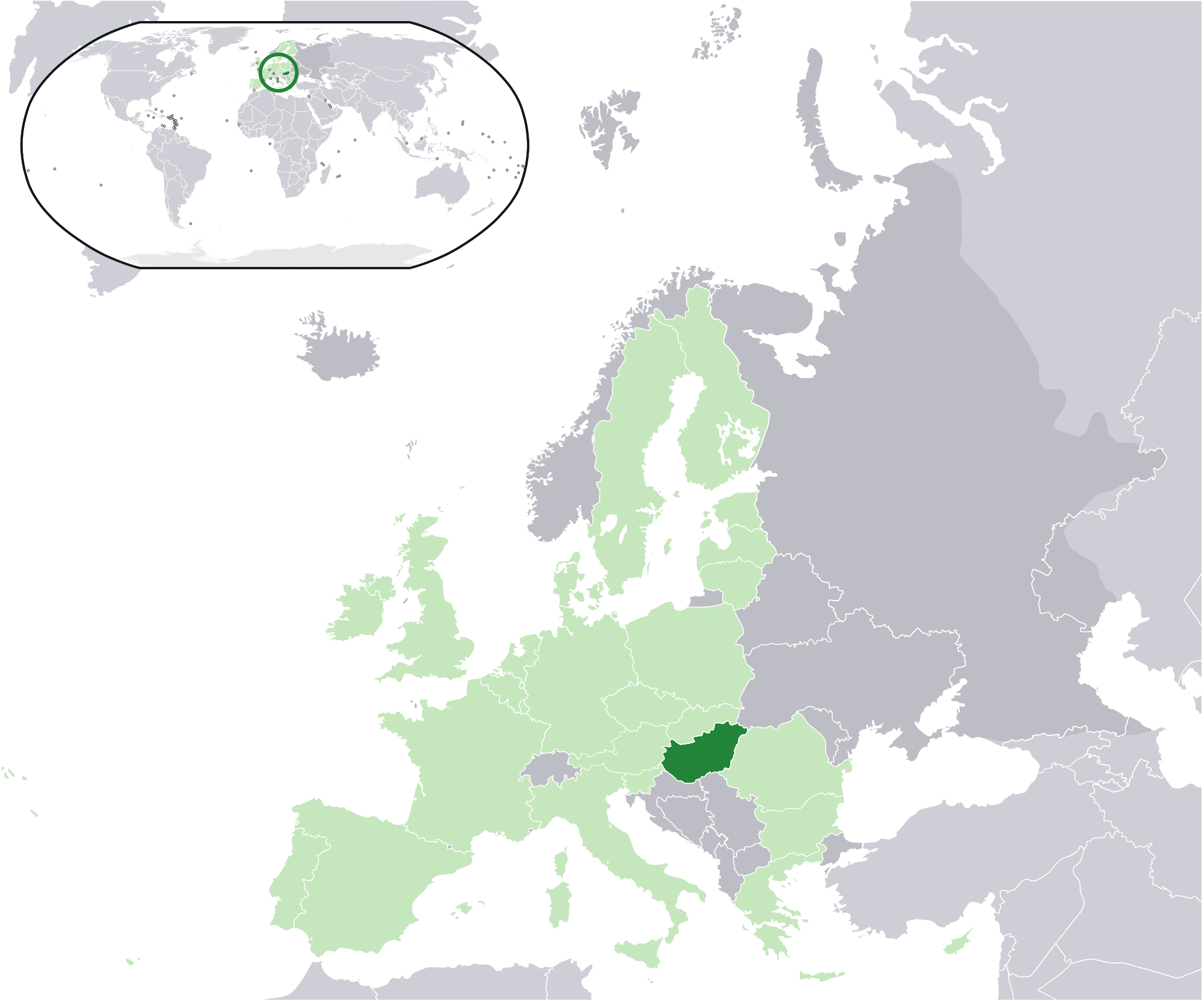
| Description | Location map: Hungary (dark green) / European Union (light green) / Europe (dark grey); inspired by and consistent with general country locator maps by User:Vardion, et al | ||
| Date | |||
| Source | http://upload.wikimedia.org/wikipedia/en/0/0e/Location_Hungary_EU_Europe.png | ||
| Author | Quizimodo | ||
| Permission (Reusing this file) |
|
Matimu ya fayili
thlava eka siku/nkarhi leswaku u vona leswi fayili ayirixiswona hi knarhi walowo
| Siku/Nkarhi | Xifanisonyana | Mpimo | Mutirhisi | Nhlamulo | |
|---|---|---|---|---|---|
| Sweswinyana | 12:18, 21 Mudyaxihi 2009 | | 2,056 × 1,710 (166 KB) | Ruang rak noi nid mahasan | {{Information |Description=Location map: Hungary (dark green) / European Union (light green) / Europe (dark grey); inspired by and consistent with general country locator maps by User:Vardion, et al |Source=http://upload.wikimedia.org/wikipedia/en/0/0e/Lo |
Ntsengo wakutirhisiwa ka fiyili leyi
tluka leri rikhekela eka fayili leyi:
Global file usage
The following other wikis use this file:
- Usage on an.wikipedia.org
- Usage on ceb.wikipedia.org
- Usage on chr.wikipedia.org
- Usage on es.wikipedia.org
- Usage on hu.wikipedia.org
- Usage on it.wikibooks.org
- Usage on jam.wikipedia.org
- Usage on krc.wikipedia.org
- Usage on lad.wikipedia.org
- Usage on om.wikipedia.org
- Usage on roa-tara.wikipedia.org